Weather service: Weak chance of flurries, dusting at week’s end
Published 5:00 am Tuesday, February 25, 2020
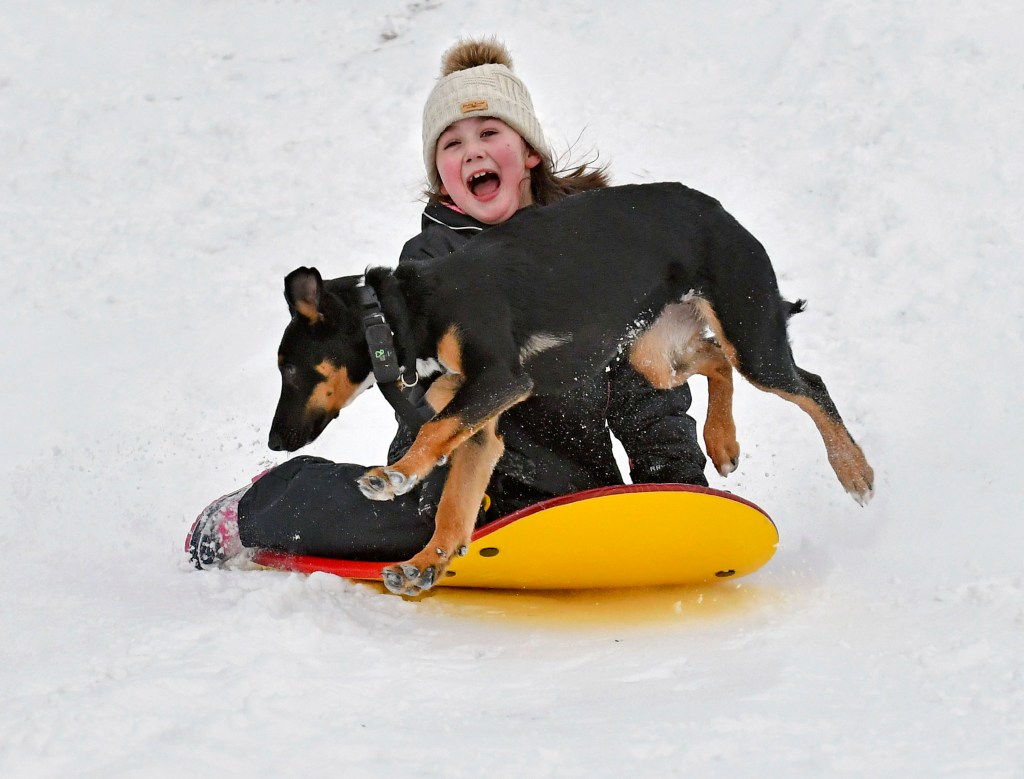
- Kylie Silvia, 7, of Sedro-Woolley slides down a hill Saturday, Feb. 9, 2019, at the Northern State Recreation Area while being chased by Atlas, one of the two family dogs. The National Weather Service is predicting more snow throughout the week in Northwest Washington. (Scott Terrell/Skagit Valley Herald via AP)
Kids big and little in Limestone County will have to wish harder if they want to see snow this week.
Kurt Weber, meteorologist with the National Weather Service in Huntsville, said Monday the best chance for the white stuff will be Friday night into Saturday morning. But, even then, the forecast for snow is weak — only a 20% to 30% chance. At this point, don’t expect more than “a few flurries or a dusting” from Old Man Winter, Weber said.
“As far as snow goes, some models show a few flakes and some models a few more,” Weber said. “Even that is pretty uncertain.”
But, the week is young and the weather fickle, so the forecast won’t be clear until week’s end, he said.
If snow does fall, it would likely melt by mid- to late morning Saturday, simply due to ground temperatures combined with air temperatures that are expected to fall only into the lower 30s, Weber said.
Tuesday nice
The good news on the weather front this week is the forecast of warmer temperatures Tuesday, somewhere in the upper 50s to lower 60s, Weber said. The cloud cover, however, is here to stay, he said.
The area may receive a quick shot of rain Wednesday night. The forecast shows isolated to scattered rainfall and temperatures in the 40s to lower 50s, Weber said.
Temperatures are expected to drop into the upper 20s Thursday morning, with highs only into the lower 40s, he said.
Friday may be slightly warmer, with highs in the 40s, lows in the lower 30s and a decent amount of afternoon sunshine, he said. Friday night into Saturday may bring possible winter temperatures.